John J. Ward, RG, Groundwater Consultant
Watershed hydrology is the science of the hydrologic cycle. Watershed assessments, including use of watershed models, are needed to predict the effects of changing land and water use, forest cover, and climate change on the water yield, flood frequency, and hydrologic balance within the watershed.
Numerous and important parameters that must be measured or estimated to properly calibrate a watershed model dominate the modeling process. Choice of model codes is application-specific, and may range from simple analytical solutions to computerized, highly mathematically sophisticated groundwater-watershed models. I have used both the Precipitation-Runoff Modeling System (PRMS) and the Soil and Water Assessment Tool (SWAT) watershed models.
Agricultural mapping and consumptive use determinations have made use of remote sensing from Landsat imagery. The Normalized Difference Vegetation Index (NDVI) technique, based on the infrared and near-infrared reflectances from Landsat imagery, will give inaccurate values if not tempered with both independent information and experience with how certain soil moisture and crop conditions can confound the remote imagery and reduce the accuracy of results.
SELECTED AGRICULTURAL AND FORESTED WATERSHED PROJECTS


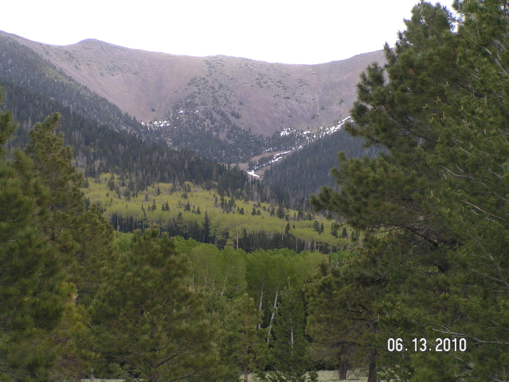
- Watershed Yields, Arizona and New Mexico: Watershed modeling of 10 forest watersheds for seasonal yields and stream base flow due to decadal watershed drought conditions. Included historical meteorological variability, assessment of the role of snowpack in maintaining riparian drainages, and watershed dynamics using the SWAT model.
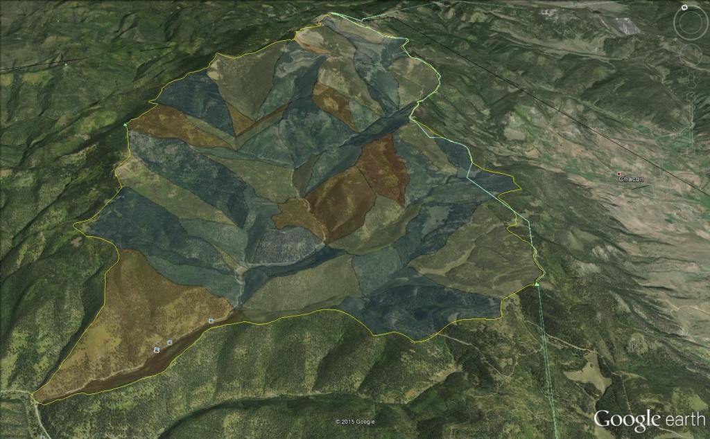
- Watershed Modeling, Southern Rocky Mountains, New Mexico: Developed and managed streamflow measurement network of 120,000 acre snowmelt-dominated Forest watershed. Calibrated watershed model using the PRMS code for hypothesis testing of impacts of various agricultural diversions on downstream water availability.
- Watershed Flooding, Central Florida Phosphate Mining District: Constructed, installed and calibrated permanent streamflow measurement networks and precipitation gages to evaluate baseline pre-mining watershed conditions.
- Agricultural Water Use Optimization, Arizona: Repaired degraded well/pump system from effects of calcium deposition through pump and acid control, and optimized water and fertilizer delivery of 2,000 acre drip irrigation project.
- Agricultural Watershed Yields, New Mexico: Constructed watershed models of six forested watersheds, New Mexico, using the PRMS code to determine variations in seasonal agricultural water yields.
- Agricultural Lands Remote Sensing, New Mexico: Using Landsat imagery and aerial photos, determined seasonal irrigated agricultural acreages for eight agricultural districts.
- Irrigation Use Remote Sensing, Deming Area, New Mexico: Analysis of NDVI mapping of irrigated acreages from fields that used drip, furrow and sprinkler irrigation methods.
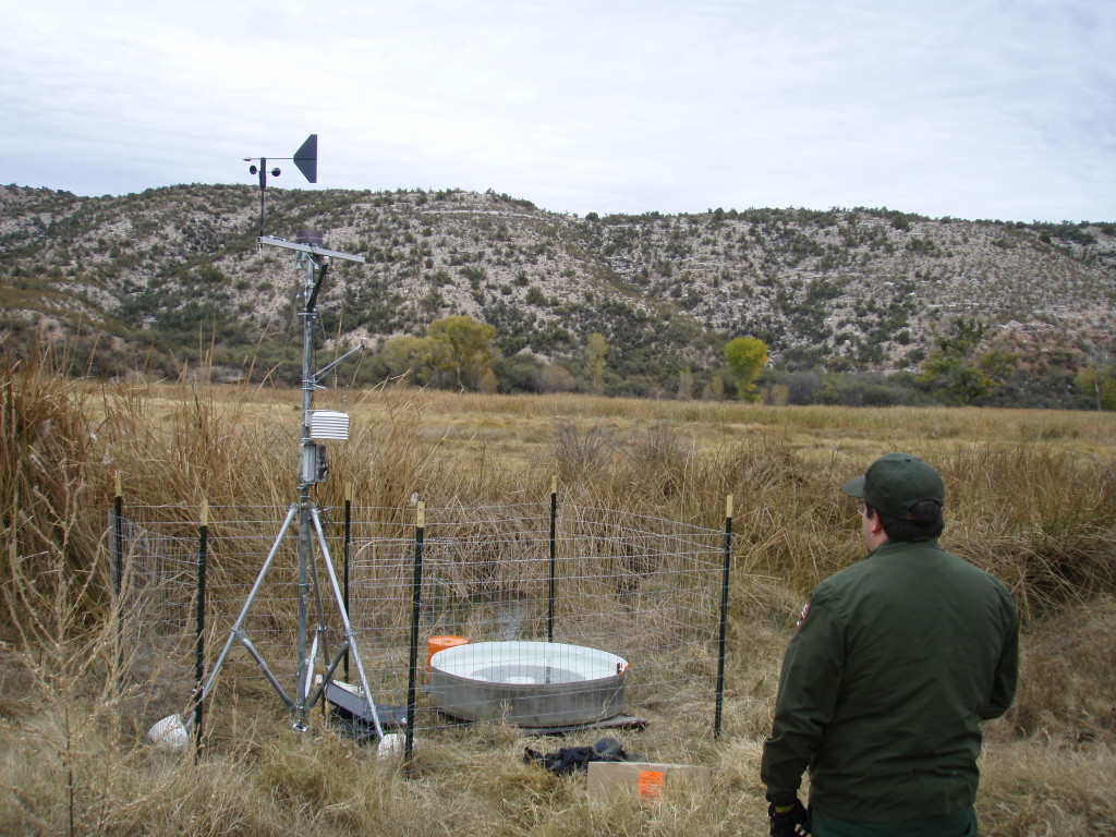
- National Park Service Watershed Monitoring, Tuzigoot National Monument, Arizona: Conducted hydrologic budget analysis of riparian watershed. Installed weather station and evaporation pan, monitored streamflow, spring discharges, and water levels. Calculated hydrologic balance using both energy and water budgets.

